Serra del Montsià
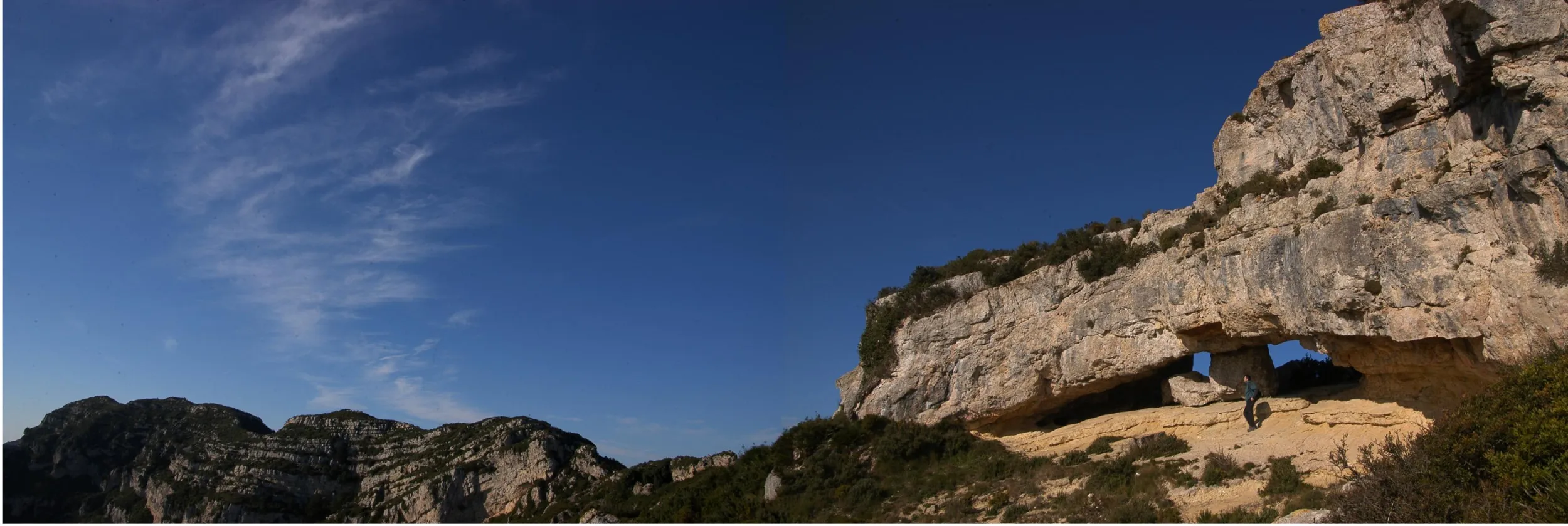
The Serra del Montsià is a mountain range parallel to the Mediterranean coast in the south of the Terres de l’Ebre. It runs from the River Ebro (in the north) to the River Sénia (in the south), 20 kilometres long and 6 wide.
Amposta
Natural Areas
All year round
More information
Its highest point is the Pic del Montsià (764 m), although one of its most charismatic peaks is La Foradada which, at almost 700 m above sea level, is a magnificent natural viewpoint over the Ebro Delta.
The limestone terrain of the ridge is of great beauty, covered in scrub. The towns of Alcanar, Ulldecona, Freginals, Amposta and La Ràpita lie at its foot.