Serra de Llaberia
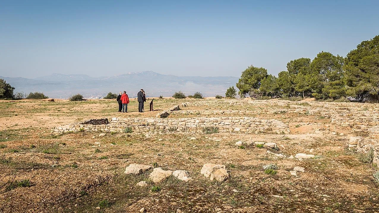
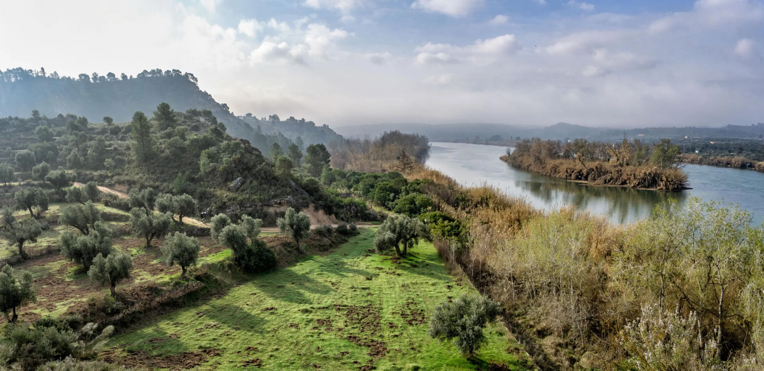
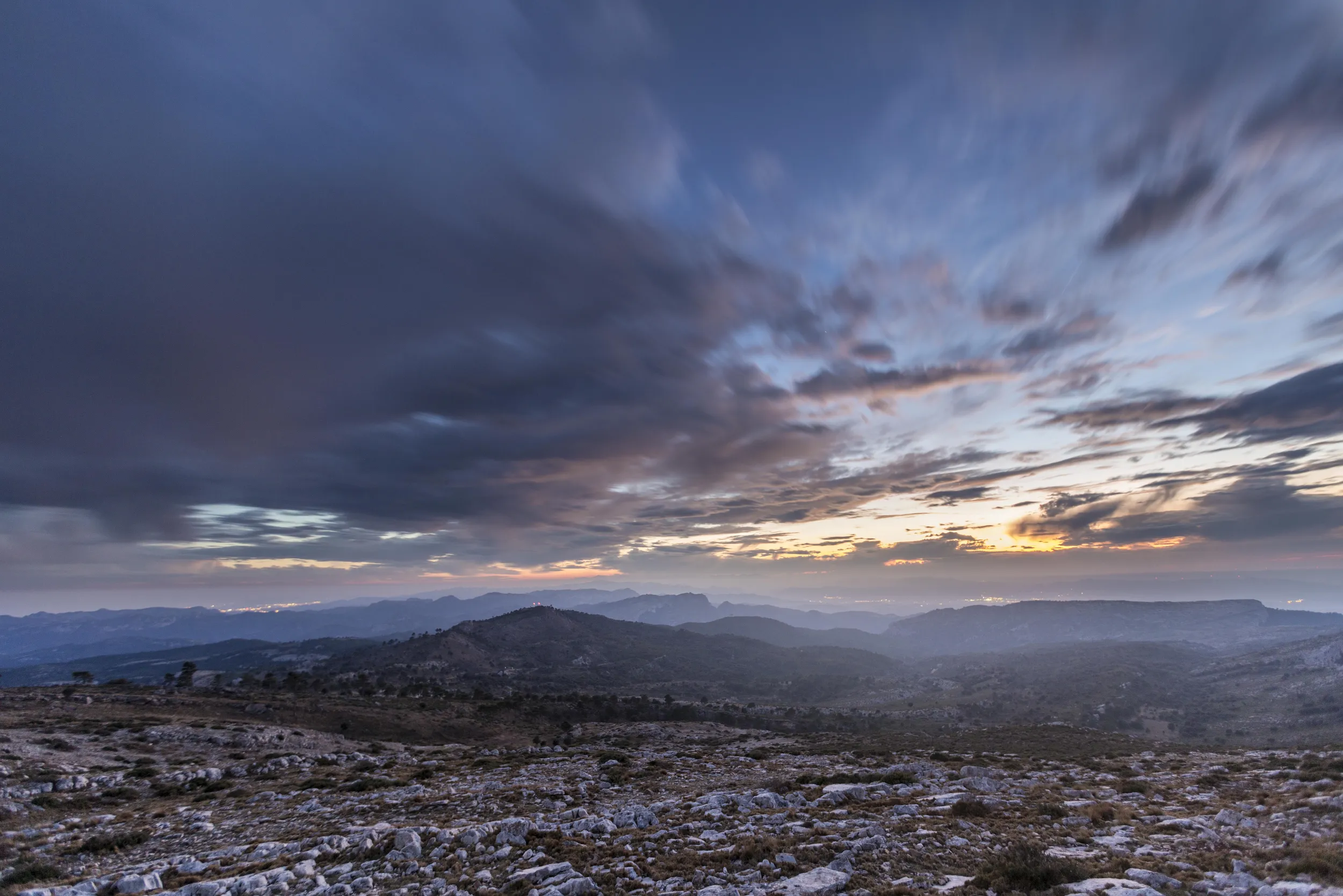
The Serra de Llaberia rises at the north-eastern end of the Terres de l’Ebre and borders the Priorat and Terra Alta comarcas. Its terrain, rising between 500 and 900 metres, separates the Mediterranean slope of the Baix Camp from the Móra basin.
Tivissa
Natural Areas
All year round
More information
The highest sector, between the municipalities of Colldejou and Tivissa, is the Mola de Llaberia, from which much of the Camp de Tarragona can be seen. The Serra de Llaberia has been listed as a PEIN area (Natural Area of Interest), in order to preserve its scenic and natural richness.
The Consorci de la Serra de Llaberia, the body that manages this protected area, has waymarked a network of trails for exploring and discovering every corner of the range.