Peace Route (Ruta de la Pau)
Plaça d'Espanya, 43780 Gandesa, Tarragona
The Ruta de la Pau is a circular itinerary that uses the existing GR and PR waymarking in the Terra Alta comarca to make a route linking most of the sites that were significant in the Battle of the Ebro.
Gandesa
Active Tourism
All year round
- Distància
- 82.84 km
- Desnivell
- ↑ 2.360 m · ↓ 2.370 m
- Durada
- 3-5 stages
- Dificultat
- Moderate
- Tipus de ruta
- Circular
More information
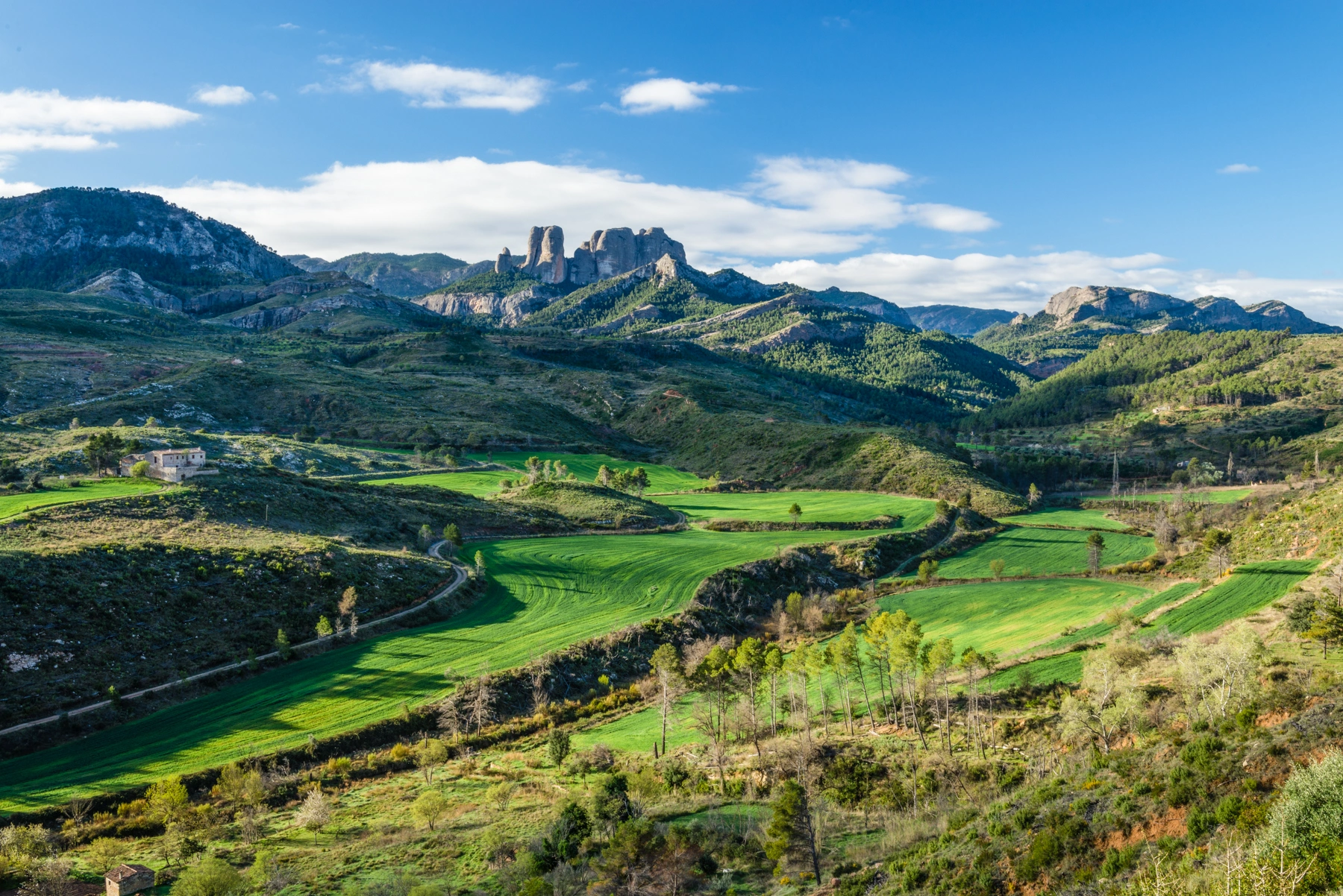
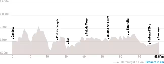
It can start in Gandesa, whose position at a crossroads was the main objective of the Republican offensive. The itinerary takes us towards the Serra de Pàndols and Serra de Cavalls, which sheltered soldiers and were the scene of the fiercest fighting, and passes through villages that were the setting of bloody battles such as Prat de Comte, Bot, Vilalba dels Arcs, la Fatarella and the old village of Corbera d'Ebre.
There is also a variant that takes you to el Pinell de Brai.
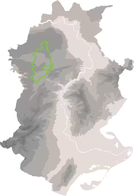
The route
Perfil d’altitud
0 m
200 m
400 m
600 m
800 m
0 km
20 km
40 km
60 km
82.8 km
712 m
A
B
On és
What's on the map